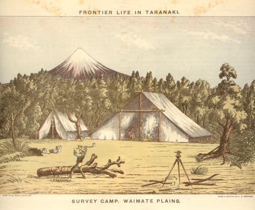
In the 1870s, as a result of Premier Julius Vogel’s policies encouraging immigration, there was a pressing need for more land for the new waves of settlers from Britain and Europe. In 1878 surveying teams crossed the Waingongoro River near Hāwera to subdivide the Waimate plain for farms and townships. Although the area had been part of the massive 809,000-hectare confiscation of Taranaki lands, Māori had laid down their arms in 1869 and believed this land had been allocated to them under the New Zealand Settlements Act 1863. Māori opposition to the advancing settlers grew, and Pākehā disquiet about this eventually led to the 1881 invasion of the settlement of Parihaka.
Using this item
Private collection
Reference:
Edwin Stanley Brookes, Frontier life : Taranaki, New Zealand, NZ. Auckland: Brett, 1892
Lithograph after a drawing by E. S. Brookes
This item has been provided for private study purposes (such as school projects, family and local history research) and any published reproduction (print or electronic) may infringe copyright law. It is the responsibility of the user of any material to obtain clearance from the copyright holder.


Add new comment