


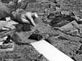
This 1939 map of Hawke’s Bay was the first in the New Zealand Map Series 1 (NZMS1), published at a scale of 1 inch to 1 mile. The series covered all of New Zealand with highly detailed topographical maps based on aerial photography. It was finally completed in 1976.
Using this item
This item has been provided for private study purposes (such as school projects, family and local history research) and any published reproduction (print or electronic) may infringe copyright law. It is the responsibility of the user of any material to obtain clearance from the copyright holder.

Add new comment