


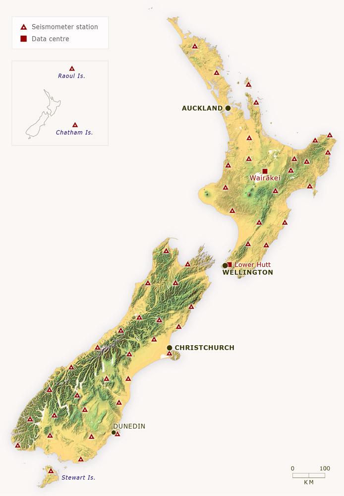
This map shows the distribution of the main seismometers used to detect earthquakes around New Zealand. During periods of seismic activity, temporary stations are also set up to gather more information.
Using this item
Te Ara – The Encyclopedia of New Zealand
This item has been provided for private study purposes (such as school projects, family and local history research) and any published reproduction (print or electronic) may infringe copyright law. It is the responsibility of the user of any material to obtain clearance from the copyright holder.
Source: GNS Science

Add new comment