


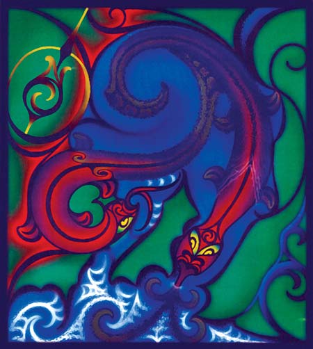
This artwork by Lee Watt depicts the two taniwha Ngake and Whātaitai after the great earthquake at Te Whanganui-a-Tara (Wellington Harbour). Whātaitai (left) is shown curling up to form Motukairangi, while Ngake makes the channel from the harbour to Cook Strait.
Using this item
Chamblett Design Group
Artwork by Lee Watt
This item has been provided for private study purposes (such as school projects, family and local history research) and any published reproduction (print or electronic) may infringe copyright law. It is the responsibility of the user of any material to obtain clearance from the copyright holder.

Add new comment