


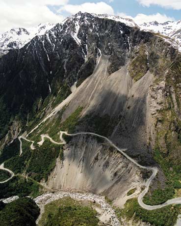
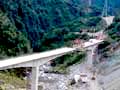
This section of State Highway 73, which connects Christchurch with the West Coast, used to traverse shattered rocks over a series of prehistoric rock avalanches. The zigzag section of road required constant work as rocks tumbled down from above. Parts of the road slipped downward as the Ōtira River far below undermined the slope. In 1997 construction began on a viaduct connecting the road at bottom left with that at bottom right.
Te whakamahi i tēnei tūemi
GNS Science
Reference:
CN20754/2
Photograph by Lloyd Homer
Permission of GNS Science must be obtained before any use of this image.

Tāpiritia te tākupu hou