


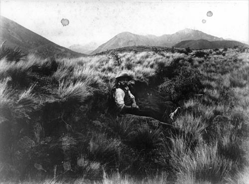
The land surface ruptured along the line of the Hope Fault, North Canterbury, where the ground moved upwards and sideways. The figure sitting with his back against the fault scarp gives an indication of the amount of vertical movement of the land behind him, which was considerably less than the horizontal offset.
Te whakamahi i tēnei tūemi
GNS Science
Reference:
4625
Photograph by Alexander McKay
Permission of GNS Science must be obtained before any use of this image.

Tāpiritia te tākupu hou