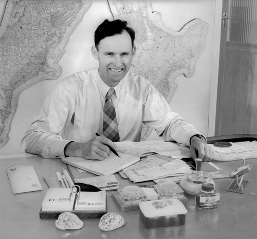
Piet van Asch poses at his desk in the offices of New Zealand Aerial Mapping Limited in the mid-1950s.
Tāngia te kōrero katoa
Tāngia te kōrero katoa
Te whakamahi i tēnei tūemi
NZ Areal Mapping
Reference:
10c_302
This item has been provided for private study purposes (such as school projects, family and local history research) and any published reproduction (print or electronic) may infringe copyright law. It is the responsibility of the user of any material to obtain clearance from the copyright holder.

Tāpiritia te tākupu hou