


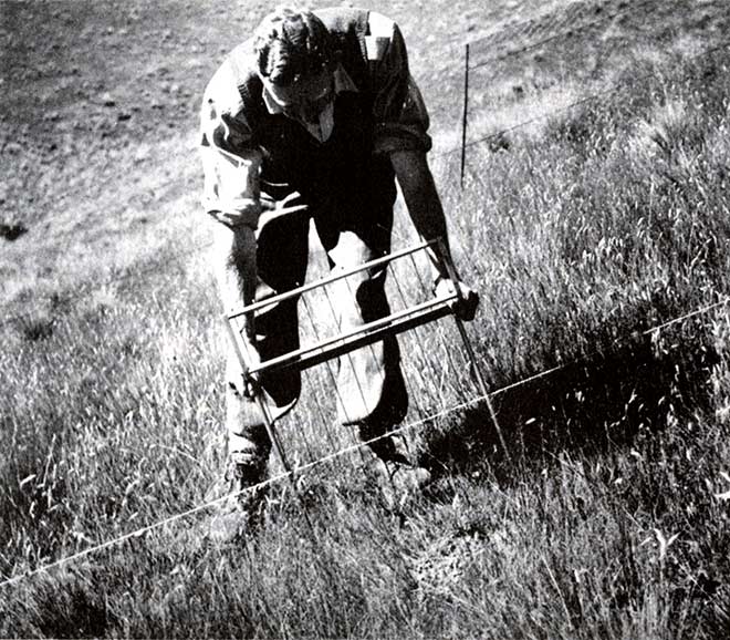
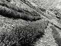
In order to measure the effects of continued grazing, or burning, on pasture cover in the tussock grasslands, and whether the amount of bare ground was increasing, the North Canterbury Catchment Board fenced off a number of 20-square-metre areas in the Waimakariri catchment in 1948. This photograph shows Catchment Board staff member (and later chief soil conservator) R. D. Dick making measurements within one of those areas. The contrast with the outside grazed area is obvious.
Te whakamahi i tēnei tūemi
Te Ara - The Encyclopedia of New Zealand
Reference:
L. W. McCaskill, Hold this land: a history of soil conservation in New Zealand. Wellington: A. H & A. W. Reed, 1973, p. 135
This item has been provided for private study purposes (such as school projects, family and local history research) and any published reproduction (print or electronic) may infringe copyright law. It is the responsibility of the user of any material to obtain clearance from the copyright holder.

Tāpiritia te tākupu hou