


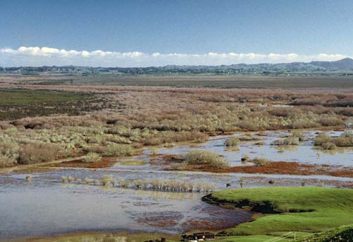
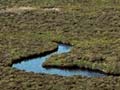
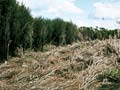
Whangamarino wetland (7,100 hectares) contains the second largest peat bog in the North Island. It lies north of Hamilton in a hollow bounded by hills. It formed soon after the Taupō eruption (around 232 CE), when flood material was deposited by the Waikato River near Mercer. It has become much smaller since Europeans arrived. Fires have swept across it, and invasive willows have spread over hundreds of hectares. But it is home to many water birds such as Australasian bitterns and North Island fernbirds. Shrub-sedgelands of mānuka, Baumea and wire rush grow on the peat.
Te whakamahi i tēnei tūemi
Department of Conservation
Reference:
10051068
This item has been provided for private study purposes (such as school projects, family and local history research) and any published reproduction (print or electronic) may infringe copyright law. It is the responsibility of the user of any material to obtain clearance from the copyright holder.
Tāpiritia te tākupu hou