


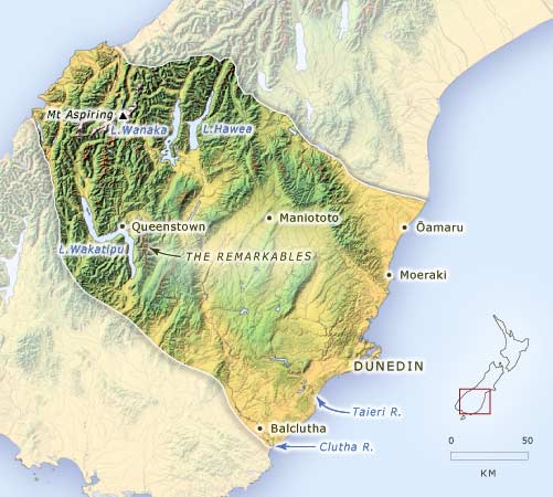
Crossing the widest part of the South Island, the Otago region consists of mountains in the west, with lower, fault-bounded hills in the east. This map shows the location of places mentioned in the text.
Te whakamahi i tēnei tūemi
Te Ara - The Encyclopedia of New Zealand
This item has been provided for private study purposes (such as school projects, family and local history research) and any published reproduction (print or electronic) may infringe copyright law. It is the responsibility of the user of any material to obtain clearance from the copyright holder.

Tāpiritia te tākupu hou