Story summary


Early ideas
In the mid-1800s, scientists began to explain how the landscape was created and shaped. The first European geologists to survey New Zealand were Ferdinand Hochstetter and Julius Haast. In 1858–59 they travelled around and recorded what they saw.
The role of glaciers
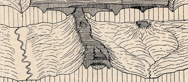
When Hochstetter looked at the landscape, he thought he saw signs of past glaciers. Haast suggested there had been a ‘Great New Zealand Ice Period’, when many large glaciers had deposited gravel and mud in large ridges (called moraines) or as fans in plains and valleys.
By the late 20th century, scientists agreed that in the last 2.5 million years there have been more than 30 glacial periods worldwide. In New Zealand, most of the landforms created by glaciers in the South Island are from the last two or three periods – earlier deposits have been largely worn away.
Major advances of ideas
In 1884 an American scientist, William Morris Davis, explained that all land was shaped by a ‘cycle of erosion’ – blocks of land were lifted up to form mountains, then gradually worn down by wind, rivers and rain. Geologist Charles Cotton showed how these ideas could be applied to New Zealand, and wrote several textbooks.
In 1886, geologist Alexander McKay suggested that sections of New Zealand were uplifted along faultlines (cracks in the earth's crust) during earthquakes. At the time, the idea that fault movement could create mountain ranges was revolutionary.
An important discovery, made in the 1960s, was plate tectonics – the idea that the earth’s crust is made up of huge plates. New Zealand lies where the Australian and Pacific plates meet. Their collision lifted up the Southern Alps, and has shaped the country’s distinctive features.
Studying the landscape
Since the 1960s more New Zealand students have become interested in the earth sciences. New technology such as satellite imaging and carbon-14 dating is now used to measure changes and movement in the land.