


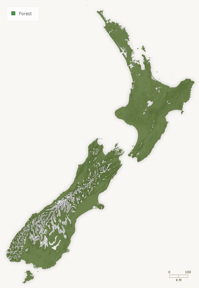
This map shows forest coverage before human settlement. Around 80% of the New Zealand archipelago was covered in forest.
Using this item
Te Ara - The Encyclopedia of New Zealand
This item has been provided for private study purposes (such as school projects, family and local history research) and any published reproduction (print or electronic) may infringe copyright law. It is the responsibility of the user of any material to obtain clearance from the copyright holder.
Source: Malcolm McKinnon, ed., Bateman New Zealand historical atlas: kopapatuanuku e takotonei. Auckland: David Bateman, 1997, plate 8

Add new comment