


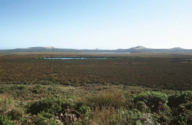
Peat and peat-derived soils cover 60% of the main island. This view towards Lake Rotokawau shows a typical peat wetland.
Using this item
Department of Conservation
Reference:
10052119
Photograph by Poma Palmer
This item has been provided for private study purposes (such as school projects, family and local history research) and any published reproduction (print or electronic) may infringe copyright law. It is the responsibility of the user of any material to obtain clearance from the copyright holder.

Add new comment